interstitialRedirectModalTitle

interstitialRedirectModalMessage

Reports

Foodscapes Report

Toward Food System Transition

an aerial view of a hilly green tea plantation with high and low lying areas
Phu Tho Province, Vietnam A semi-mountainous land where there are hills and mountains interspersed with flooded low-lying areas. © Manh Cuong Vu/TNC Photo Contest 2021

The Nature Conservancy, together with the International Institute for Applied Systems Analysis (IIASA) and SYSTEMIQ, introduces the first analysis, classification and mapping of the world’s foodscapes. This spatially explicit approach enables new ways of envisioning, managing and implementing the transitions that are, and will continue to be, necessary for the full-scale transformation of our global food systems.
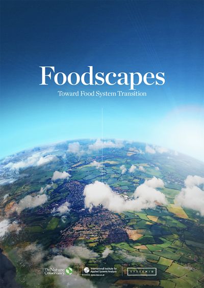
aerial photo of patchworked agricultural land and a sweeping blue sky with title of report
Download the Report: “Foodscapes: Toward Food System Transition”
Please enter your first name.
Please enter your last name.
Please enter your email address in a valid format.
We may have detected a typo. Please enter a valid email address (formatted as name@company.com). Did you mean to type ?
Please enter the name of your organization.
Country/Region*
Please select your country.
Please select your title.
Check this box.
You must check this box in order to submit the form.
aerial photo of patchworked agricultural land and a sweeping blue sky with title of report

Download “Foodscapes: Toward Food System Transition”

The Nature Conservancy, together with the International Institute for Applied Systems Analysis and SYSTEMIQ, introduces the first analysis, classification and mapping of the world’s foodscapes. This spatially explicit approach enables new ways of envisioning, managing and implementing the transitions that are, and will continue to be, necessary for the full-scale transformation of our global food systems.