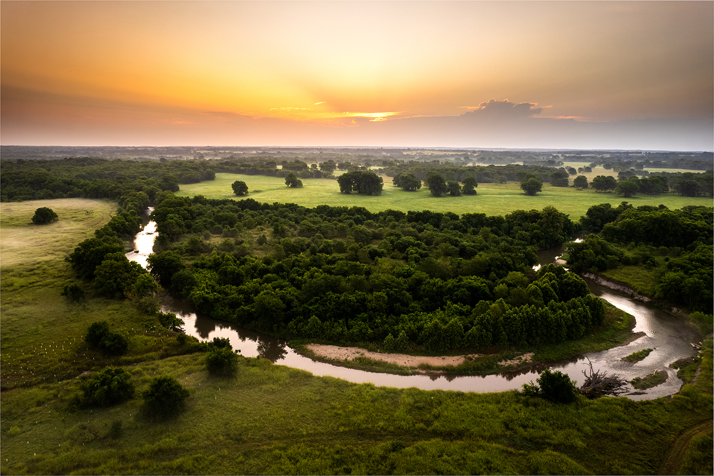
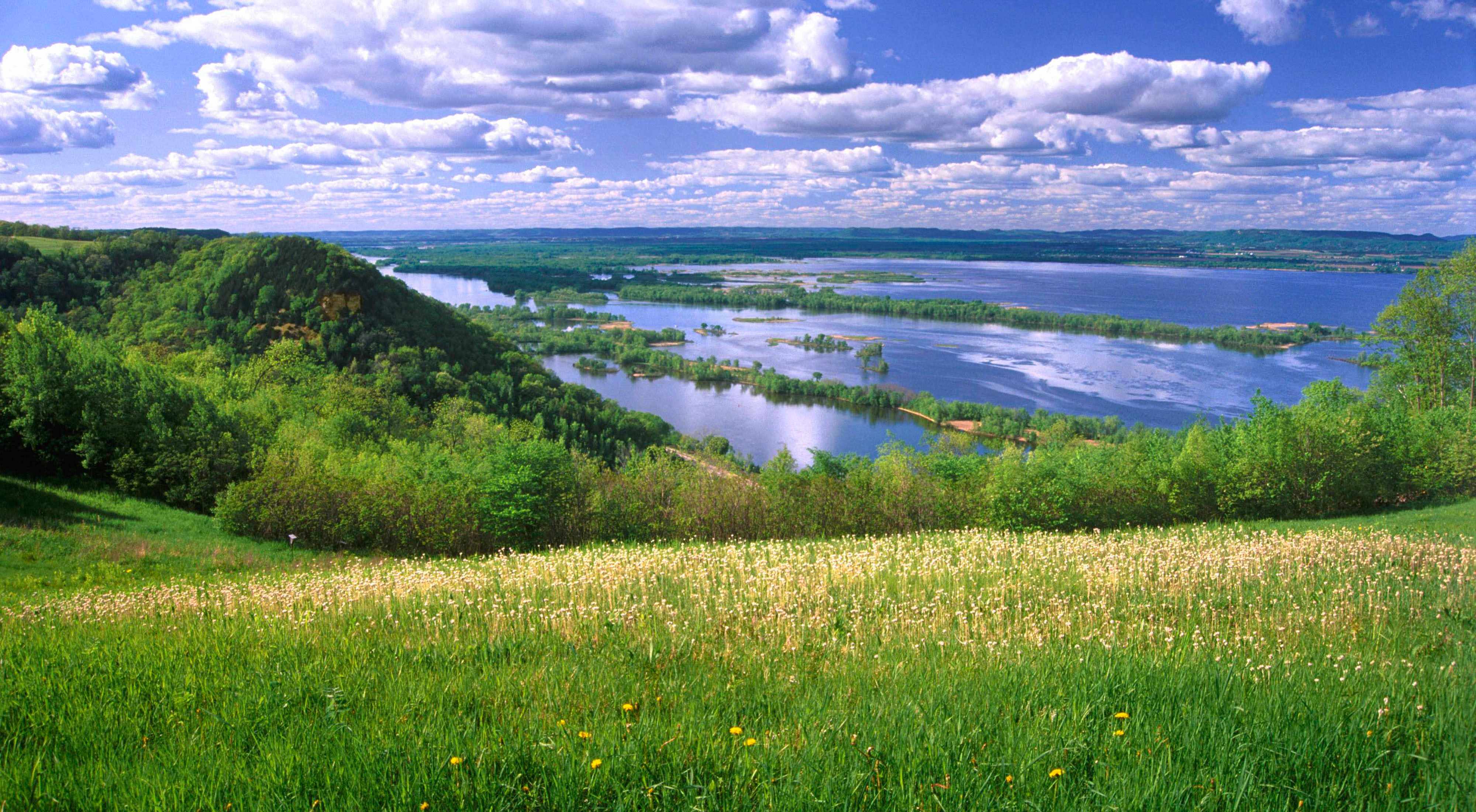
Mississippi River Basin

Restoring a Healthy, Resilient Mississippi River
Encompassing 1.245 million square miles across 31 U.S. states and two Canadian provinces, the Mississippi River and its tributaries nourish crops, transport goods, provide recreational opportunities and sustain robust fisheries. The river system brings food, fresh water, jobs and economic security to millions of people.
Today, the Mississippi River faces unprecedented challenges. Increasingly intense flooding, excessive nutrient loads that affect drinking water and create a dead zone in the Gulf, invasive species and changing flows strain the river’s infrastructure and threaten homes, communities and livelihoods.
The Mississippi River by the Numbers
-

7k
7,000 rivers and streams in the Mississippi River basin
-

1.3M
The Mississippi River supports 1.3 million jobs
-

325
325 bird species migrate via the Mississippi flyway
-

25%
25% of fish species in North America live in the Mississippi
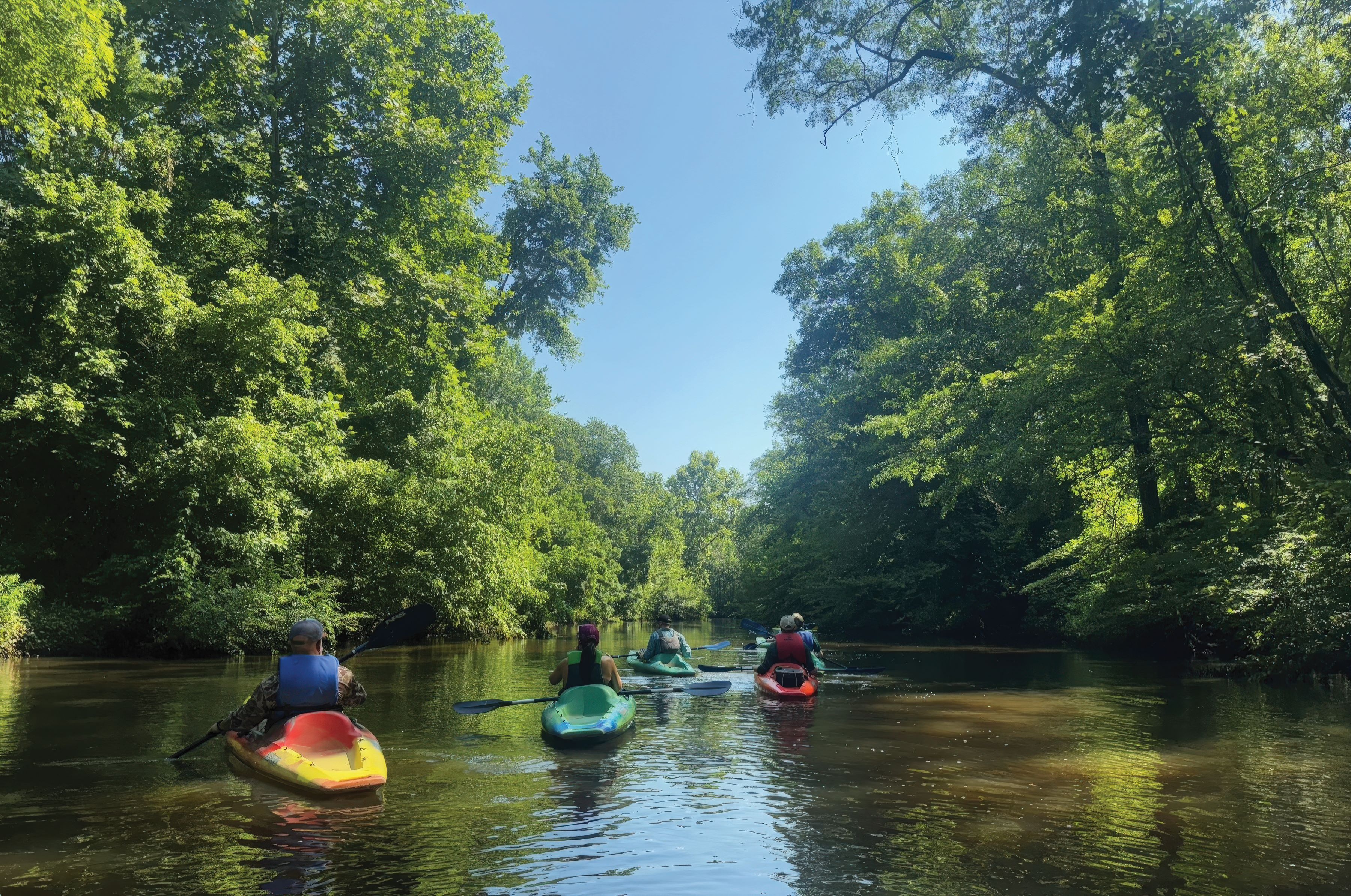
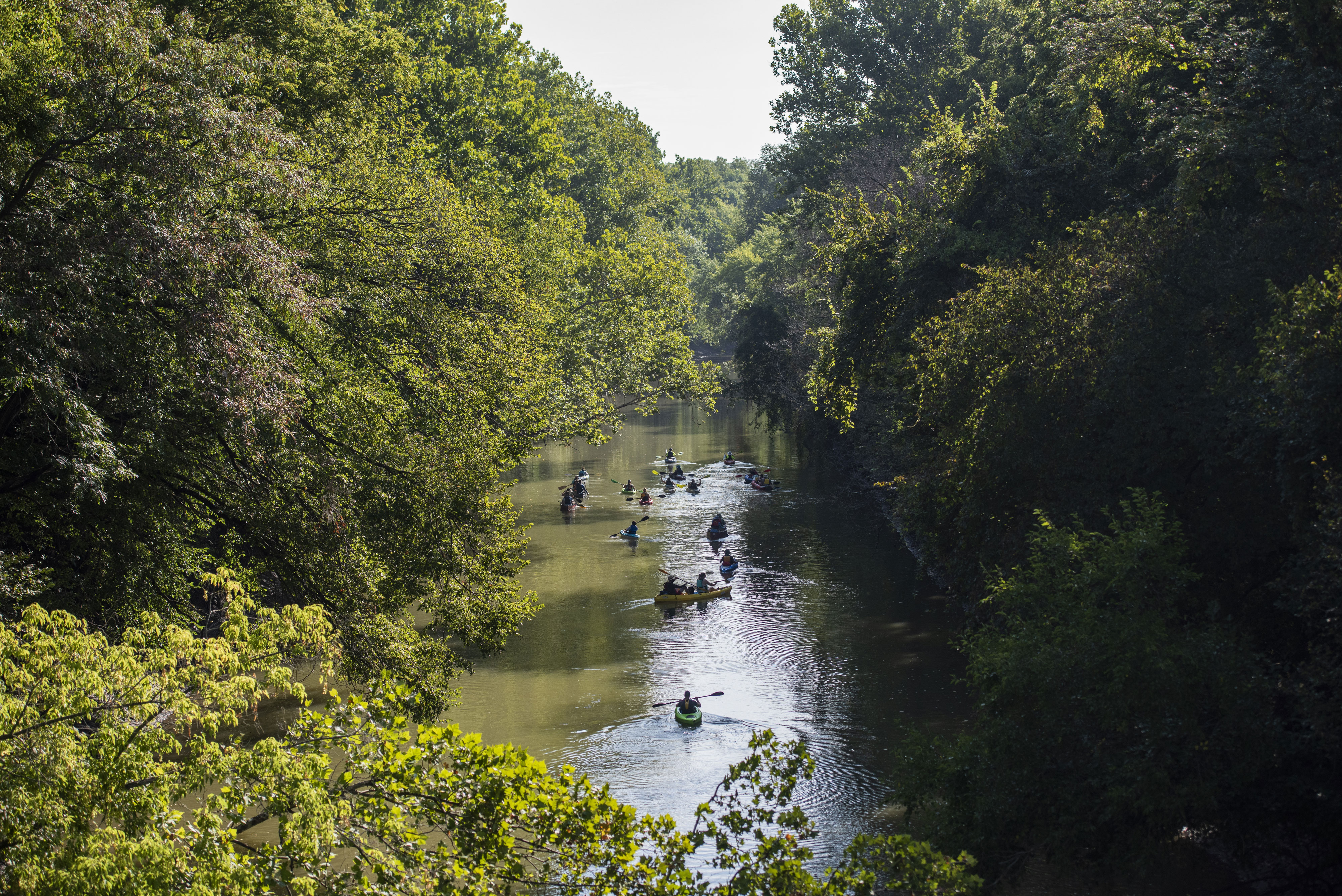
What We Can Achieve Together
The Nature Conservancy has set ambitious goals to transform how we conduct and influence conservation across the whole basin to put the system on a path toward resilience. We develop projects, partnerships and policies that protect essential lands, habitats, and waters, while deepening our understanding of the connections between people and place.
Our achievable goal is to restore and protect the Mississippi River basin’s natural systems so that it can sustain present and future generations.
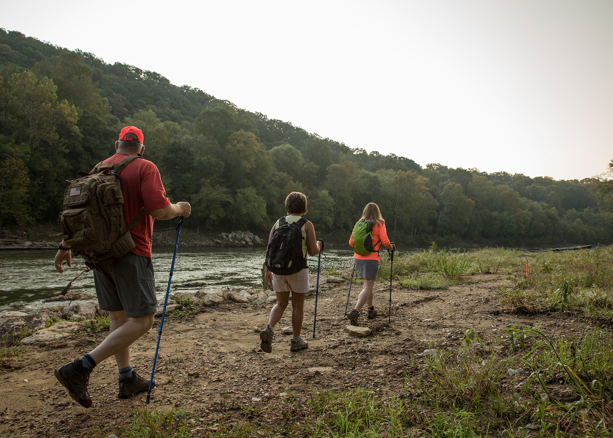
Mississippi River Basin Projects
The Nature Conservancy takes a whole basin approach to restoring resiliency to the Mississippi River. Select the map markers to learn about the work we are doing.
Where we work
No results are shown. To see results, turn on the toggle switches in the legend.
- Restoring the Blue River
-
Restoring the Blue River
Floodplain Restoration
The Blue River and the Arbuckle-Simpson Aquifer, which sustains the river, are globally significant for the wide assortment of endemic life they support. The basin also encompasses a variety of freshwater ecosystems from rolling prairies, limestone outcrops, oak forests in granite canyons to bottomland hardwood forests.
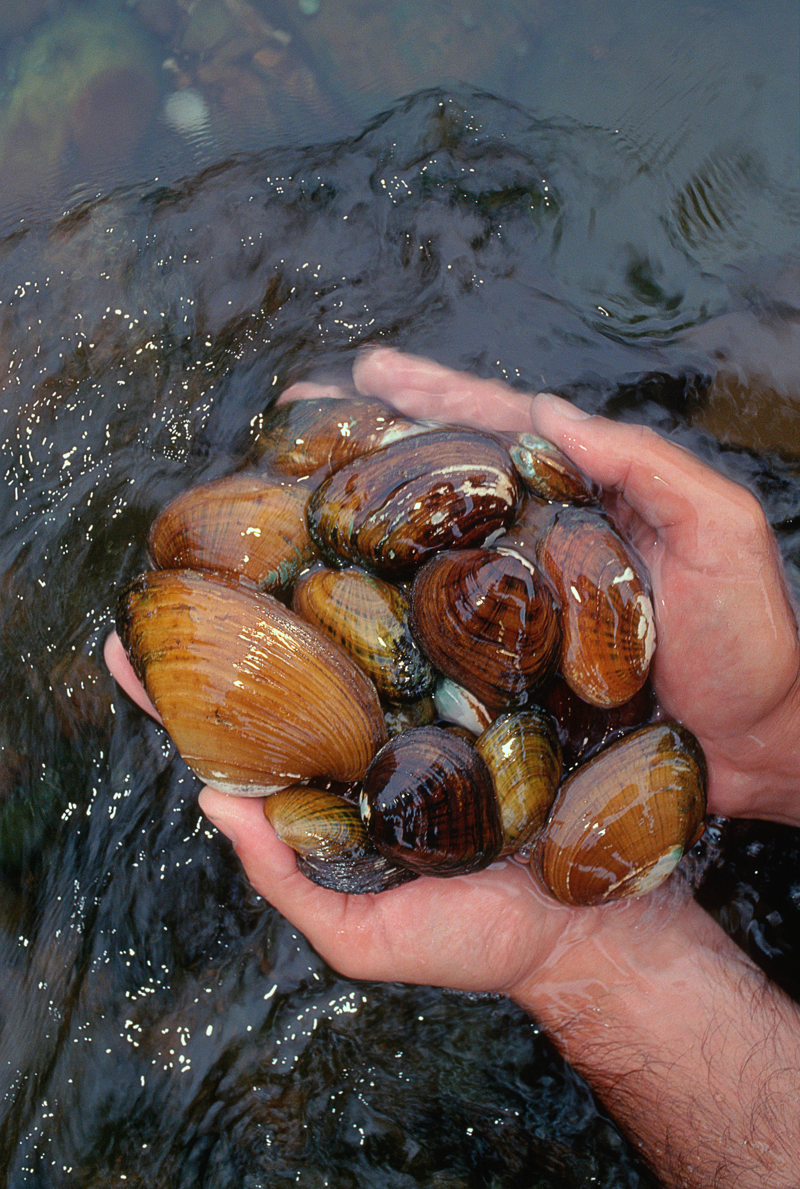
- Freshwater Mussels Abundant in the Allegheny River
-
Freshwater Mussels Abundant in the Allegheny River
Habitat Protection
With headwaters in Pennsylvania’s only national forest, the Allegheny has the highest diversity of freshwater mussels in Pennsylvania and provides drinking water to Pittsburgh.
- Atchafalaya River Basin is Largest Wetland in U.S.
-
Atchafalaya River Basin is Largest Wetland in U.S.
Habitat Protection
For decades, the Old River Control Station has diverted 30% of the combined flows from the Mississippi and Red rivers into the Atchafalaya River Basin while allowing the remaining 70% to run down the Mississippi River. The Nature Conservancy is working with the U.S. Army Corps of Engineers to consider alternative flow regimes to improve the ecology of the river.
- Functioning Floodplains in Iowa
-
Functioning Floodplains in Iowa
Floodplain Restoration
Lake of the Swamp White Oak Preserve is one of Iowa’s most ecologically diverse landscapes, featuring rare oak savannas, wetlands, native prairie and natural floodplains along the Cedar River, a tributary of the Mississippi River.
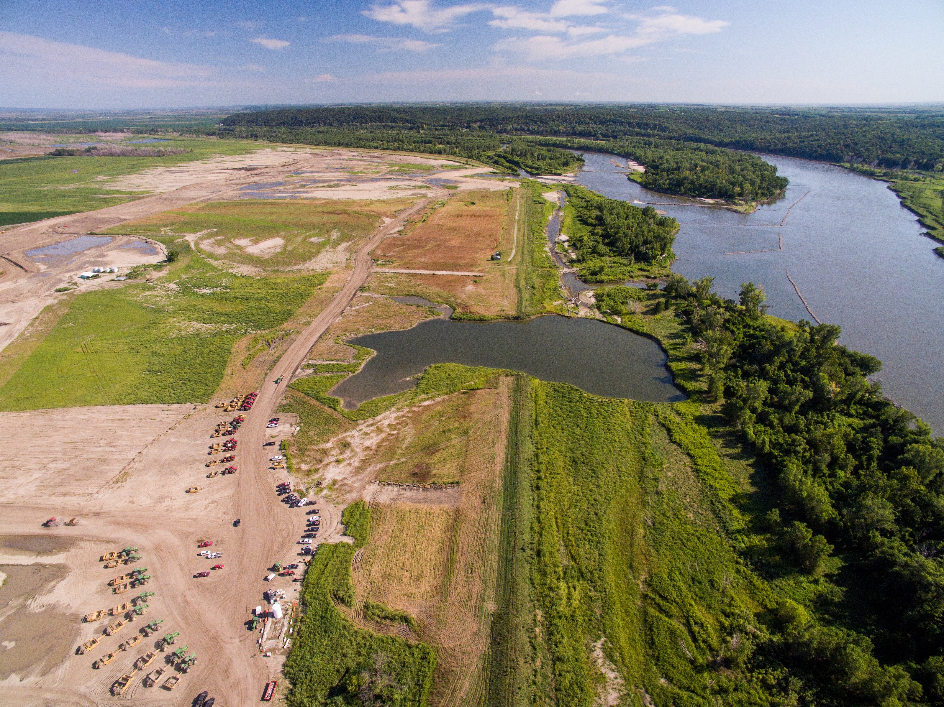
- L-536 Levee Setback
-
L-536 Levee Setback
Floodplain Restoration
After severe flooding breeched a levee on the Missouri River in multiple places, the community needed a new solution. Multiple partners, working closely with landowners, determined that a levee setback—moving the levee inland to allow more room for floodwater—was the best solution. Now it serves as a model for future projects.
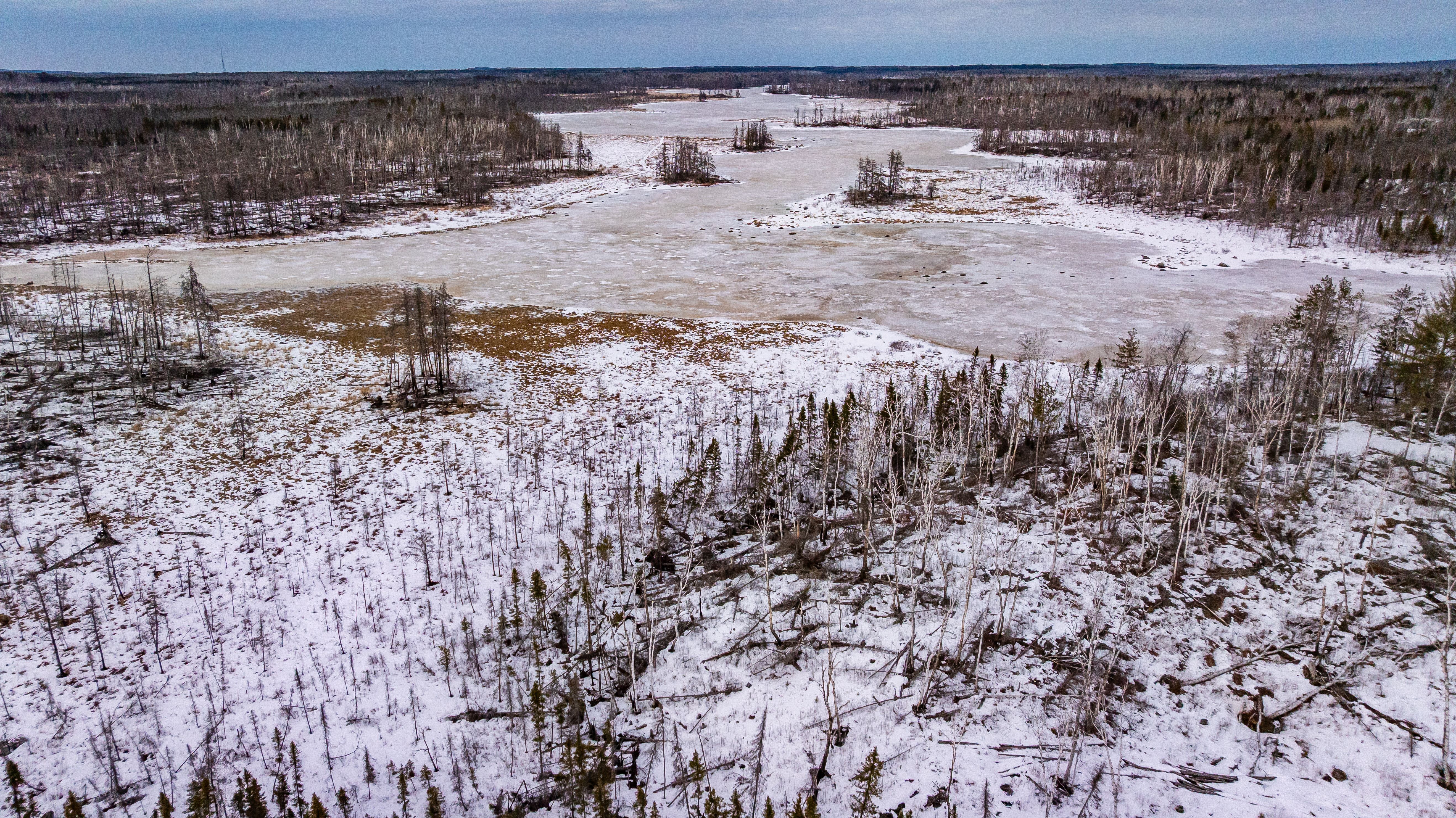
- Wetlands Conserved in Minnesota Northwoods
-
Wetlands Conserved in Minnesota Northwoods
Water Quality
The Nature Conservancy has permanently protected a remarkable piece of Minnesota’s Northwoods—12,271 acres of forest, rivers and wetlands north of Two Harbors. This land is home to winding rivers and more than 5,000 acres of peatlands—spongy wetlands that are climate superheroes, storing tons of carbon and supporting rare plants and animals.
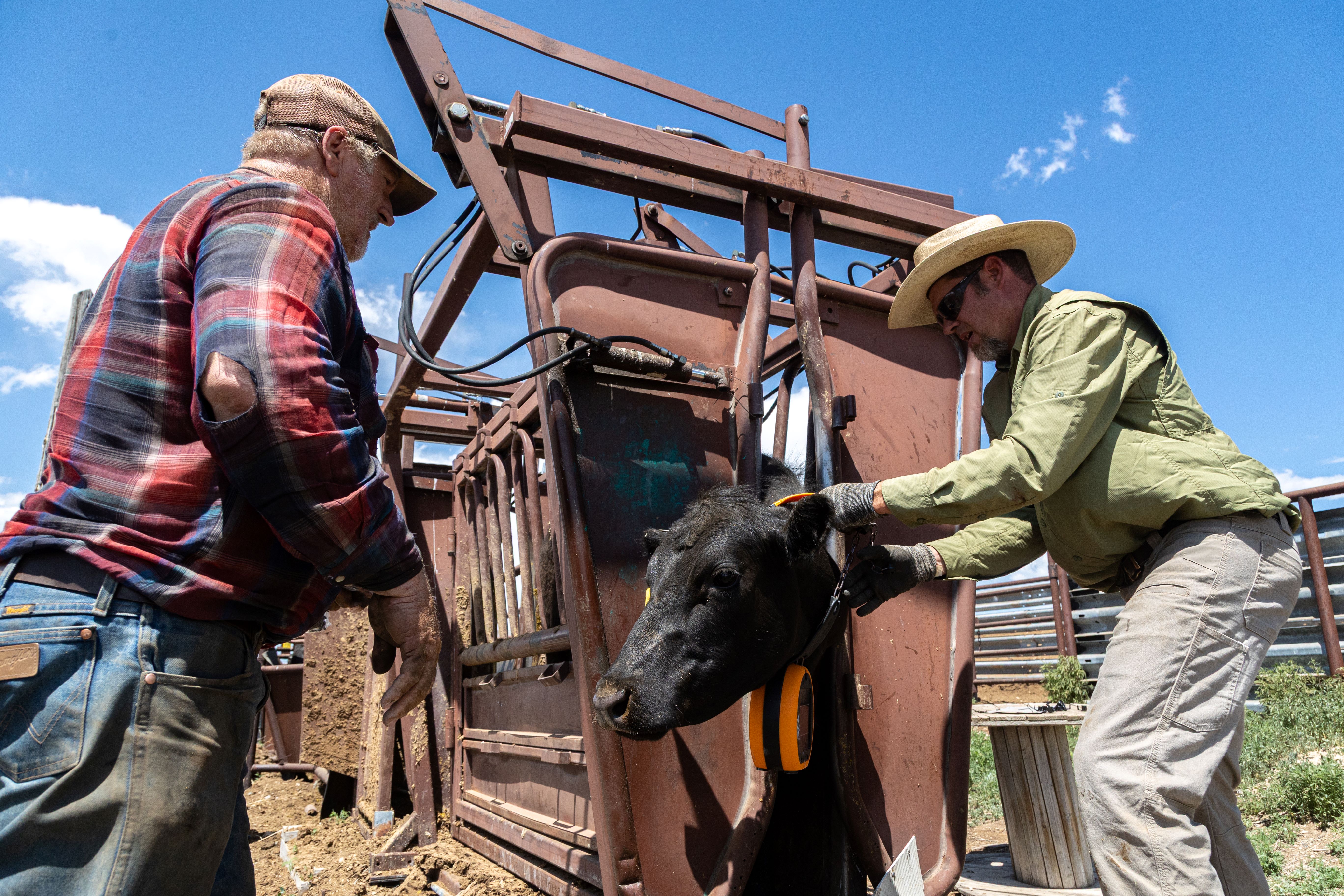
- Regenerative Grazing Supports Healthy Fresh Water
-
Watch Video
Regenerative Grazing Supports Healthy Fresh Water
Water Quality
In southwest Montana, TNC is partnering with ranchers to implement virtual fencing to manage cattle. This could help restore native rangelands, rebuild degraded soils, restore streambanks and reduce conflicts with predators like bears. Those protections at the far reaches of the Mississippi River basin contribute to improved water quality throughout the whole system.
- Emiquon Preserve
-
Emiquon Preserve
Floodplain Restoration
At more than 6,000 acres, Emiquon is one of the largest floodplain restoration projects in the Midwest, providing habitat for hundreds of thousands of migratory birds. It is the premier demonstration site for The Nature Conservancy’s work on the Illinois River and within the Upper Mississippi River system and ultimately will help guide large floodplain river restoration efforts around the world.
- Sandhill Crane Migration
-
Sandhill Crane Migration
Habitat Protection
Hundreds of thousands of sandhill cranes visit Nebraska’s Platte River Valley each spring. The Platte and its adjacent wet meadows in the Big Bend region provide habitat for millions of migratory birds including some 500,000 sandhill cranes and millions of ducks and geese.
- Restoring the Wabash River
-
Restoring the Wabash River
Floodplain Restoration
Decades of draining and developing land in the Wabash River watershed has degraded the quality of its waters. Through partnerships and community outreach, we are constantly working to conserve and protect the Wabash River and its surrounding lands.
- Restoring Ohio's Wetlands
-
Restoring Ohio's Wetlands
Water Quality
In Central Ohio near East Liberty, cold-water springs and streams form the headwaters of the Big Darby Creek. At The Nature Conservancy’s Big Darby Creek Headwaters Preserve, water quality is essential, as it feeds one of the nation’s most biologically rich rivers, Big Darby Creek. The Big Darby Corridor Treatment Project is using funding from H2Ohio to restore 217 acres of wetlands.
- Reforesting Floodplains in the Southern Delta
-
Reforesting Floodplains in the Southern Delta
Floodplain Restoration
In flood-prone areas of the Delta, The Nature Conservancy is helping landowners restore marginal cropland to native forests. This reduces erosion, improves water quality and creates wildlife habitat while offering a new revenue model for farmers. A 3,600-acre pilot across Arkansas, Louisiana and Mississippi is just the beginning of a long-term solution for people and nature.
- Regenerative Agriculture Supports Clean Rivers
-
Regenerative Agriculture Supports Clean Rivers
Water Quality
Farmers are vital to our way of life. They grow our food and produce fiber, building materials and even ingredients for medicines such as insulin. They are among our greatest conservation allies. Using a collaborative, science-based approach, we are helping farmers ensure clean and abundant water supplies while they feed a growing population.
- Protecting Floodplains in West Tennessee
-
Protecting Floodplains in West Tennessee
Floodplain Restoration
In 2025, The Nature Conservancy in Tennessee completed its largest West Tennessee land protection deal in 25 years: the permanent conservation of 7,418 acres along the Hatchie River, called the Hatchie Bottom property. The newly protected property plays a vital role in restoring floodplain function, filtering water and providing habitat for migratory birds and native wildlife.
- Restoring Flow on the Kansas River
-
Restoring Flow on the Kansas River
Floodplain Restoration
The Kansas River, known locally as The Kaw, flows 173 miles from Junction City to Kansas City. It is one of the longest prairie streams in the world, and it provides for hundreds of thousands of Kansans who drink its water, harness its power, dredge its sands, float its currents and harvest its water for fields. But for decades, people have also controlled how the Kansas River flows.
- Reconnecting the Lower Green River Floodplain
-
Reconnecting the Lower Green River Floodplain
Floodplain Restoration
The Green River is one of the most biodiverse rivers in the country. It is home to more than 150 fish species, more than 70 mussel species and 42 endemic species. Since 1999, The Nature Conservancy has worked with landowners, farmers, non-profit organizations and government agencies to improve wildlife habitat, water quality and recreational opportunities.
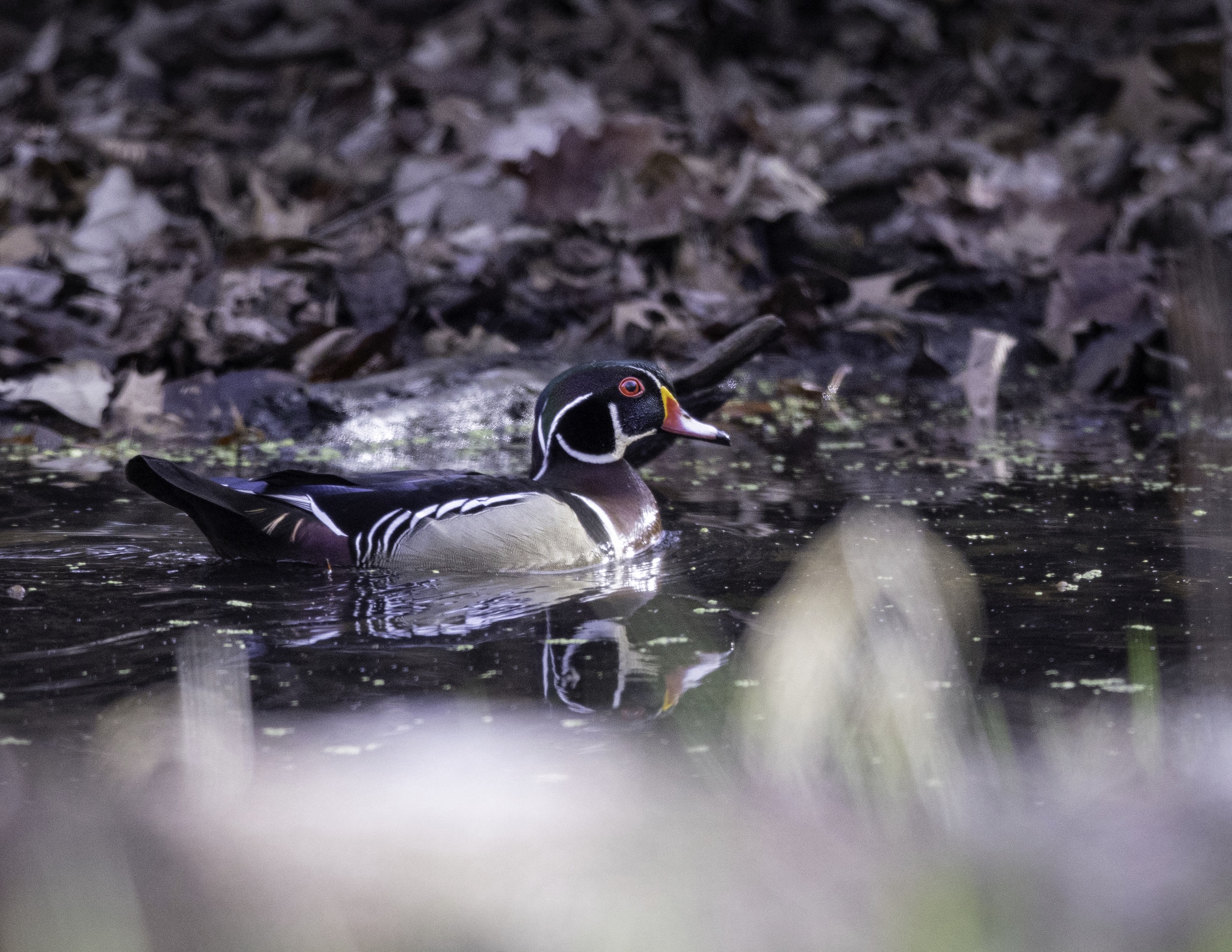
- Prairie Potholes Are Critical Wetlands
-
Prairie Potholes Are Critical Wetlands
Habitat Protection
The Nature Conservancy’s Davis Ranch in North Dakota is a perfect location for studying nesting ducks and developing duck-finding tools. The 7,017-acre preserve sits in the heart of America’s duck factory—the Prairie Pothole Region. The region’s numerous lakes, ponds and wetlands interspersed among extensive grasslands create ideal duck nesting habitat.

Our Priorities
At TNC, we prioritize strategies, projects and programs that achieve multiple outcomes and benefits to increase connectivity, support healthy habitats for wildlife and improve water quality. We equip partners and staff with research and science-based tools to inform planning and outcome measurement. We convene farmers, communities, government agencies and businesses and employ nature-based solutions to improve resilience to flooding and reduce flood risk.
Learn about other river conservation initiatives around the world.

Our Priorities
Resilient River
Resilient River
Floodplains—the land alongside rivers that tends to flood when water levels rise—absorb the increased flow of the river, help to filter harmful nutrients from the water and provide natural habitats for wildlife. Healthy floodplains are vital to a healthy river system. This is why TNC prioritizes restoring and protecting these critical ecosystems throughout the Mississippi River basin.
Together with partners, communities and leaders, TNC’s Mississippi River Basin program creates and participates in system-wide initiatives to reconnect floodplains at scale. Finding more beneficial uses for the marginal lands between the river and farms, residences and cities provides opportunity to improve conditions for the river and local communities.
We employ science-based methods and tools to identify changes that will have the broadest impact on flood mitigation, water quality and habitat restoration.
Restoring healthy freshwater and thriving habitat

Our Priorities
Healthy Water
Reducing Harmful Nutrients to Restore Healthy Water
Millions of people and wildlife species depend on the Mississippi River for fresh water. Nutrients leaking from farm fields and water pollution of all kinds threaten drinking water, biodiversity and recreation throughout the basin and have created a dead zone in the Gulf.
Practices on land and water throughout the basin profoundly affect water quality and jeopardize health of both the river and those who depend on it.
TNC partners with communities, businesses, landowners and policy makers to implement practices that can improve water quality using science-based solutions in places contributing the highest levels of nutrients.
Improving water quality also requires the ability to accurately measure conditions. We partner with agencies and non-government organizations across the basin to develop advanced monitoring systems. A sentinel monitoring system will connect disparate gauges across the system and fill gaps in available data. Our science team is also developing a low-cost, satellite-based nutrient monitoring system that turns satellite imagery into virtual water quality gauges.

Our Priorities
Thriving Habitats
Restoring and Protecting Wildlife Habitats
Reconnecting floodplains and restoring wetlands protects natural features that are critical for wildlife. Navigational structures and other changes can have the unintended effect of disconnecting floodplains and wetlands from the river. The resulting landscape changes can have detrimental effects on wildlife habitats. For example, some fish need the shallow water of oxbows to spawn, and migrating birds rely on floodplain habitat for food sources and shelter.
TNC is working to reconnect floodplains and restore habitats throughout the basin. We developed a map-based modeling tool to assess locations that would benefit from restoration and scale our work basin-wide. We work with the Army Corps of Engineers, the Natural Resources Conservation Service and the U.S. Fish and Wildlife Service as well as local governments and landowners to introduce nature-based solutions to protect and restore floodplains and wetlands now and for the future.
We Can’t Save Nature Without You
Sign up to receive regular updates from The Nature Conservancy.


America's Great River
The Mississippi River is the fourth largest in the world. The river basin spans 40% of the U.S. TNC works to protect and restore the river so the millions of people and wildlife species who depend on it can thrive. (7:00)

How We Work
The Mississippi River basin program's multi-disciplinary shared leadership team leads, inspires, equips and influences TNC and its partners to scale strategies necessary to restore a healthy Mississippi River basin. Together, the team leads and partners on initiatives to achieve TNC’s goals and effectively share a compelling story that inspires collaboration, partnerships and funding.
Our plans center on large-scale solutions that address the systemic root causes of the challenges we face. They represent bolder thinking, unexpected partnerships, increased investments, and an urgent pace—because that’s what this moment demands. Together, we find a way.
Meet the Team
-
Southern Division Director
Temperince Morgan
-
Great Plains Division Director
Ben Postlethwait
-
Midwest Division Director
Michael Reuter
-
Coordinating director
Mississippi River Basin
Nick Ohde
-
Program Coordinator
Mississippi River Basin
Emma Engelman
-
Marketing and Communications
Mississippi River Basin
Shelley Taylor
-
Science Lead
Louisiana
Bryan Piazza
-
Government Relations
North America Agriculture/Mississippi River Basin
Liz Crow
-
Policy and Government Relations
North America Policy and Government Relations
Hannah Amsterdam
-
Freshwater Strategy
Midwest Division
Bryan Hopkins
-
Freshwater Strategy
Great Plains Division
Heidi Mehl
-
Freshwater Strategy
Southern U.S. Division
Shelly Morris
-
Finance
Illinois
Lucas Vereline