
Atchafalaya River Basin
At almost a million acres, the Atchafalaya river and surrounding watershed comprises North America's largest floodplain swamp.

The Atchafalaya River Basin's remarkable size, at almost a million acres, reflects its significant ecological, economic and cultural importance for Louisianans. The Atchafalaya boasts an especially high variety of plants and animals that are not only important for nature's sake but for the people who make their living from the region's lands and waters.


Wetlands store and filter waters flowing from the Atchafalaya River into the Gulf.
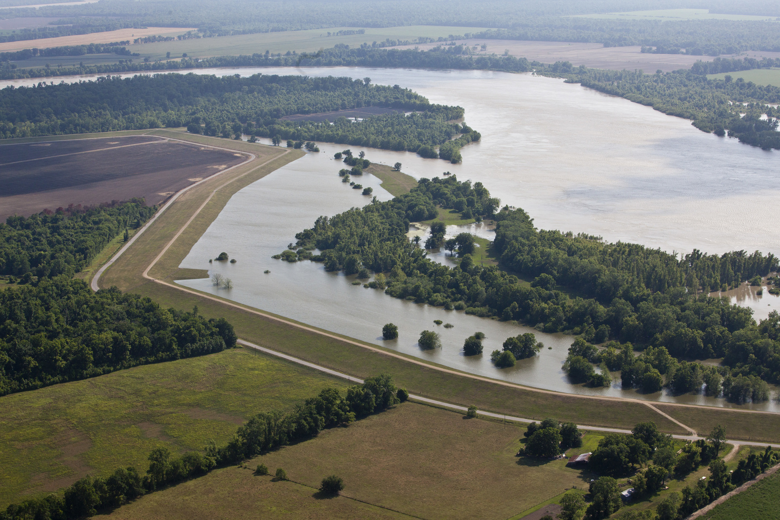
In addition to providing critical wildlife habitat, the Atchafalaya River Basin functions as a flood relief outlet and important filter for the Mississippi River, slowing its flow and trapping nutrients and pollution to improve water quality before it empties into the Gulf.
Delivering clean, fresh water to the coast fuels the creation of unique wetland habitats that oysters and other aquatic species need to thrive. This process also deposits sediments that are key to growing the deltas in Atchafalaya Bay and Wax Lake, the only instance of coastal land building in Louisiana.
Eyes on the Atchafalaya
Disconnecting the river from surrounding floodplain diminishes the Atchafalaya's value to nature and people.
In spite of the many important services provided by the Atchafalaya River Basin (wildlife habitat, flood control, water filtering, pollution reduction and others)—valued at billions of dollars annually—the future of the Atchafalaya is at risk. Decades of hydrologic manipulations have disconnected the river and its surrounding floodplain, preventing the natural overflow of water into the backswamp. The resulting faster and straighter flows don't give the water time or space needed for it to be stored and/or filtered by the wetlands. As a result, throughout the Atchafalaya River Basin, we are witnessing degraded water quality, declining forest health and compromised wildlife habitat.

TNC takes the lead on protecting and restoring the Atchafalaya.
In response, The Nature Conservancy is working to cultivate an enduring appreciation for the Atchafalaya River Basin for generations to come. Through land acquisition, we have an opportunity to access more places to pursue on-the-ground monitoring and land stewardship. We are also working with local communities on cultivating a culture of restoration and with partners and scientists in the conservation and academic communities on exploring cutting-edge approaches to complex issues surrounding the conservation of such a vast and diverse swamp forest.

Science helps TNC and partners identify conservation priorities in the Atchafalaya River Basin.
TNC is also working with partners on advancing the latest science to study the Atchafalaya River Basin on land, in the water and up in the air. For example, the Atchafalaya is a critical stop-over for a variety of bird species that arrive to rest and refuel during migration. In response and thanks to technology furnished by the University of Oklahoma and land provided by A. Wilbert’s Sons, TNC set up doppler radar on a trailer situated in a sugar cane field to monitor bird species visiting the Atchafalaya during spring and fall migration. The data collected will confirm the importance of this habitat to bird populations while informing TNC's future conservation efforts in the region.
In addition to informing TNC's work in the Atchafalaya, this monitoring effort is also part of a more extensive study led by the U.S. Geological Survey to analyze how a changing climate and sea levels are impacting important stop-over habitats for migratory birds. Since the radar can track a flock of birds in real time and across great distances, the data—which is analyzed by a TNC Conservation Fellow studying at the University of Delaware—will provide valuable information about the birds and their patterns throughout the southeast and beyond.
Latest News
Learn about our latest efforts to protect and restore the Atchafalaya River Basin.
June 2026
TNC builds the case for restoring natural flows in the Atchafalaya River Basin.
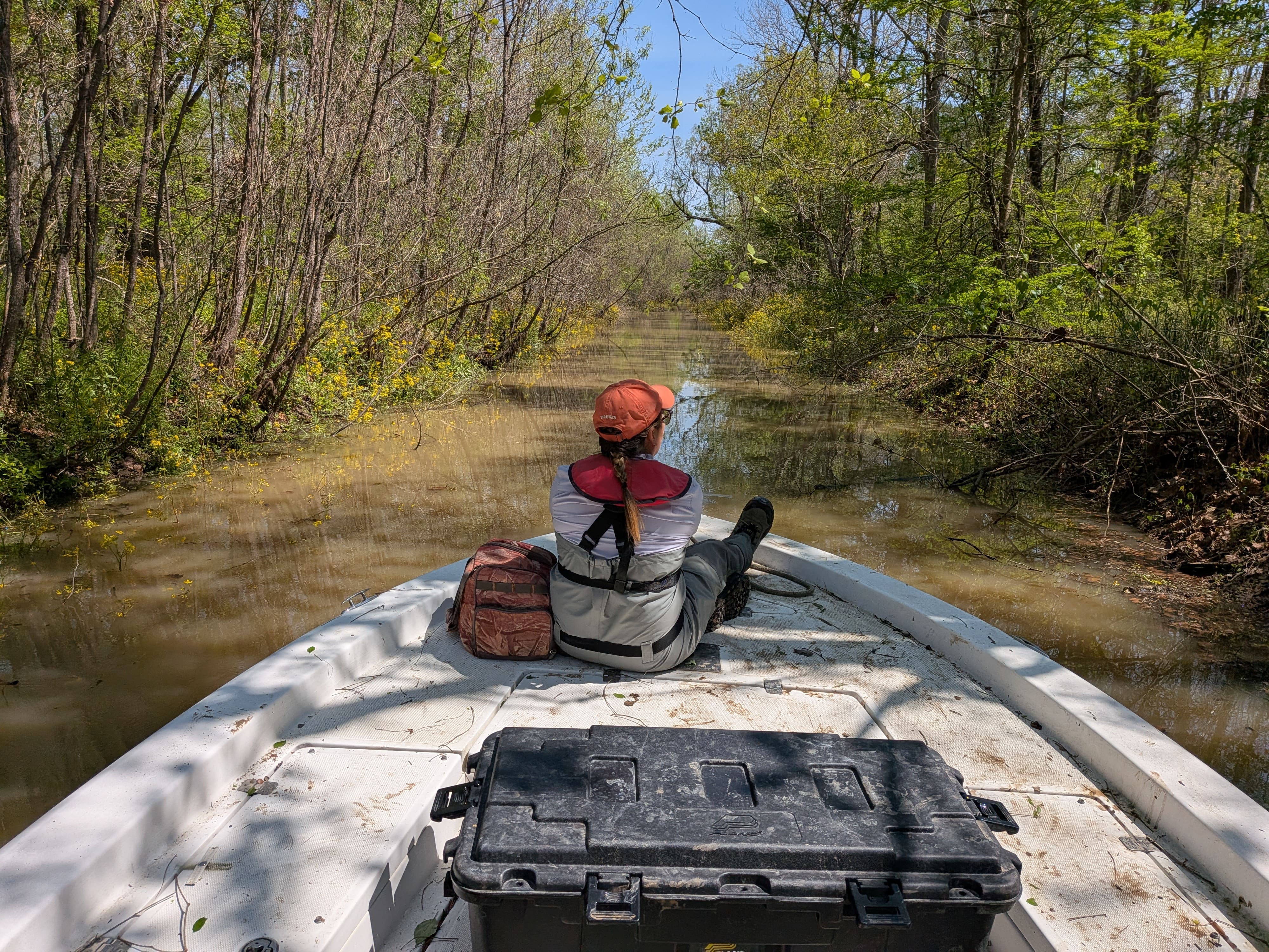
Many years ago, The Nature Conservancy bought some land in a swampy, remote part of the Atchafalaya Basin and began measuring water depth, turbidity, temperature, levels of dissolved oxygen and other data. The information would give TNC’s scientists a baseline for future work at TNC’s Atchafalaya Preserve.
“For 10 years since that initial collection, we have been measuring the same data and submitting it to the State of Louisiana’s Atchafalaya Basin Program,” says Joe Baustian, TNC’s senior ecologist in Louisiana. “It was, and remains, information that has never been assembled before.”
Specifically, Baustian and a revolving team of researchers from local universities set up instruments at seven locations in this remote part of the watershed. Each station is carefully placed to remain discreet from the others to ensure that the continuous measurements account for every kind of condition, from severe flooding to drought. A priority for TNC and the partners is to observe changes happening over time attributable to conserving habitat on land and restoring natural flows in waters, or to emerging threats related to pollution and new weather patterns.
A decade in, the numbers speak for themselves. In one study, the researchers compared female crawfish living in swamps fed by oxygen-rich river water with counterparts living in water made hypoxic by human modifications to the floodplain’s natural flow patterns.
“Over 10 years, our researchers observed that female crawfish in the hypoxic waters were smaller and laid fewer eggs,” says Christopher P. Bonvillain, Ph.D., professor and graduate program coordinator at Nicholls State University’s Department of Biological Sciences. “These findings support restoring hydrology to reduce water stagnation to benefit the crawfish population.”
Restoring natural water flows in the basin would benefit the area’s crawfish populations, which fuel the leading wild-caught crawfish industry in the nation. Letting water flow and filter as it moves through the swamp also maintains oxygen levels to benefit other wildlife and improves the quality of water flowing through the larger Atchafalaya Basin.
“When the river connects to its floodplain swamps, we see a near immediate improvement in dissolved O2, and things remain good as long as the water is flowing,” adds Baustian.
According to Baustian and TNC’s university partners, research like this is critical to informing restoration efforts and demonstrating the potential for on-the-ground improvements. TNC will continue monitoring these conditions as well as pursuing opportunities to enhance ecological functioning in the Atchafalaya Basin.
June 2025
Experts convene around Mississippi and Atchafalaya river flows after a two-year pause.
The Nature Conservancy’s Sustainable Rivers Project (SRP) substantially advanced its goals when partners recently gathered to revive a project at the Old River Control Structure (ORCS) after a two-year pause. Managed by the U.S. Army Corps of Engineers, the ORCS is responsible for maintaining the water flowing down the Atchafalaya and Mississippi River basins.
In 2002, TNC and the Corps launched a collaborative effort to find more sustainable ways to manage river infrastructure to optimize benefits for people and nature. Now known as the Sustainable Rivers Project, this collaboration has grown from eight rivers in 2002 to 44 rivers in 2022, influencing 12,079 miles of U.S. waterways and including 90 associated reservoirs and dams.
The SRP focuses on determining flow requirements for rivers and then creating operating plans for dams that incorporate these flows. In April, TNC and the Corps held an SRP Flows Workshop, gathering representatives from federal and state agencies, universities, nonprofits and local communities from throughout the two river basins. The participants pooled their expertise around this infrastructure’s management plan, discussing what is and is not working with the distribution of water flowing between the Mississippi River and the Atchafalaya River.
“For decades, the ORCS has supported a 70/30 split, diverting 30 percent of the combined flow of the Mississippi and Red River flows into the Atchafalaya River Basin while allowing the remaining 70 percent to run its course down the Mississippi River,” says Bryan Piazza, TNC’s Louisiana director of science and facilitator of the SRP Flows Workshop. “Before revisiting whether the status quo remains ideal, we needed to bring as many experts together as possible to determine what is required throughout the year, and across years, to promote the ecological and economic health of these watersheds.”
In response to that need, the workshop participants spent two days digging into and using the latest science to develop hydrographs (graphic illustrations of annual flow patterns) that explore and compare alternatives against the current 70/30 flow split. Specifically, the scientists used software provided by the Corps to generate and compare hydrographs that would potentially alter current flows to provide optimum conditions for three specific targets:
- fish and crawfish production
- water quality across the swamp
- forest health
With the workshop complete and alternate hydrographs in hand, next steps include testing those hydrographs with a hydrodynamic computer model to assemble maps and a summary for the Corps that will outline how the alternate flow patterns affect the targets. Ideally, as these flow regimes are refined, they will be tested in real time and could lead to a shift in management of the ORCS to benefit people and nature.
“The ORCS flow regime was set up in 1963 based on what was happening at that time,” adds Piazza. “Since then, the water flow down the Mississippi River has changed, the coast has changed, and the climate has changed. These are reasons why we are grateful for this opportunity to explore these questions and revisit new approaches to the management of the ORCS that could support wildlife, flood protection and economic prosperity for communities who depend upon these rivers.”




Gopher Tortoise: Adult Gopher Tortoise © Karine Algner
Pelican: The Atchafalaya Basin is an important part of a migration pathway for many birds. © The Nature Conservancy
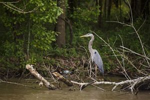
Heron: A great blue heron rests in the Atchafalaya River Basin. © Audra Melton
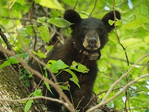
Louisiana Black Bear: A black bear cub rests in a tree. © Carlton Ward Jr.
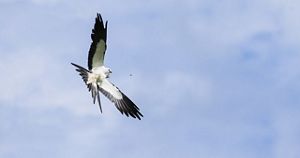
Swallow-tailed Kite: Swallow-tailed kites are one of many birds that can be seen in Louisiana's Atchafalaya River Basin. © Mac Stone
Alligator: An alligator floats in water at the Atchafalaya National Wildlife Refuge in Louisiana. © Byron Jorjorian
Egret: A great egret flies over water at the Atchafalaya National Wildlife Refuge in Louisiana. © Byron Jorjorian
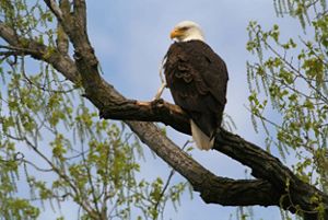
Bald Eagle: These iconic birds are often spotted around bodies of water, where they hunt for fish, their preferred prey. © Steve S. Meyer
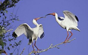
Two Ibises: Two ibises connect on a branch in Louisiana. © Charlie Bush
Barn Swallow: A barn swallow is one of many birds seen in Louisiana's Atchafalaya River Basin. © The Nature Conservancy/Seth Blitch
Stand Up for Nature
Support our work to protect nature in Louisiana
Our Projects

Atchafalaya Basin Restoration Project
Reconnecting historical bayous in the north and establishing drains through canal banks in the south to bring good water in & push bad water out.

Conservation Center
Our on-site basin headquarters serves as a platform for community-based conservation, land stewardship, restoration and research.

Conservation Fellows
TNC engages graduate students in applied, interdisciplinary research to develop the conservation leaders of the future.